Deepwater Surveys of World War II U.S. Cultural Assets in the Saipan Channel
February 24 - March 11, 2022
Expedition Summary
From February 24-March 11, 2022, a team of researchers from Scripps Institution of Oceanography, the University of Delaware, and Project Recover explored the waters off Tinian and Saipan in the Northern Mariana Islands in hopes of locating and documenting U.S. warplanes lost during World War II. While analyses of collected data are ongoing, the team made some exciting initial discoveries, including two aircraft crash sites.
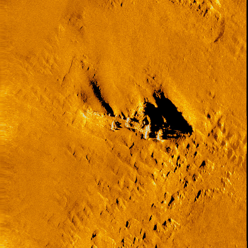
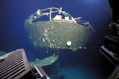
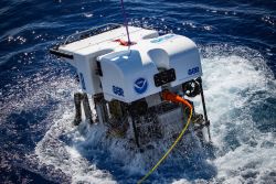
The expedition team used a combination of mapping and remotely operated vehicle (ROV) surveys in their search for missing aircraft. Side scan sonar systems mounted on two REMUS 600 autonomous underwater vehicles (AUVs) were used to identify targets that were then explored using Marine Applied Research and Exploration’s ROV Beagle. All together, the expedition team completed a total of seven dives, ranging in depths from 300 to 600 meters (984 to 1,969 feet), collecting video and still imagery of submerged archaeological sites. Using an optical imager deployed on the REMUS 600 AUV, they collected additional high-resolution comprehensive site images that will assist in site analysis and outreach. Mapping data were also collected throughout the expedition using the ship-based multibeam sonar system. Much of the area had not been previously mapped at the coverage or high resolution completed during this expedition.

Through the ROV and mapping surveys, the expedition team discovered and then documented two World War II-era aircraft crash sites. While analyses of data from these sites are ongoing, they do not appear to be the B-29 aircraft that were targeted for discovery during the expedition. The team also collected additional image and video data at the B-29 aircraft site that was discovered and explored during the 2016 Deepwater Exploration of the Marianas expedition, and new mapping data expanded this site’s boundaries and resulted in the discovery of new features. Analysis of data from this site is also ongoing. Additionally, a field of dispersed unexploded ordnance (UXO) was discovered and mapped during the expedition.

Partners
Related Links
Education Themes
Media Contacts
Lauren Fimbres Wood
Director of Strategic Communications
Scripps Institution of Oceanography
lmwood@ucsd.edu
Emily Crum
Communication Specialist
NOAA Ocean Exploration
emily.crum@noaa.gov
Funding for this expedition was provided by NOAA Ocean Exploration via its Ocean Exploration Fiscal Year 2020 Funding Opportunity and the U.S. Office of Naval Research Code 32.


